Welcome to the High Tatras
The smallest alpine mountain range in the world with true alpine character
Unique Mountain Range
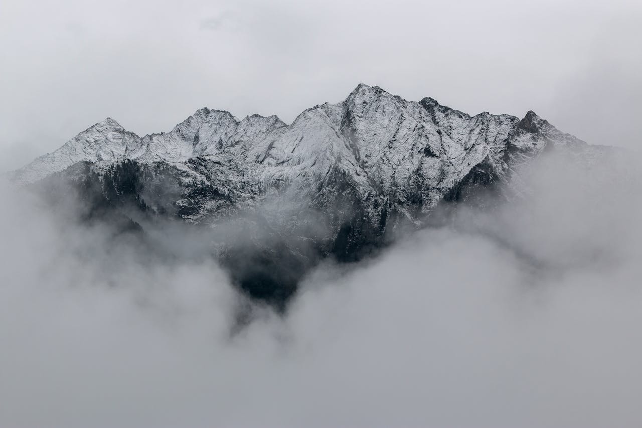
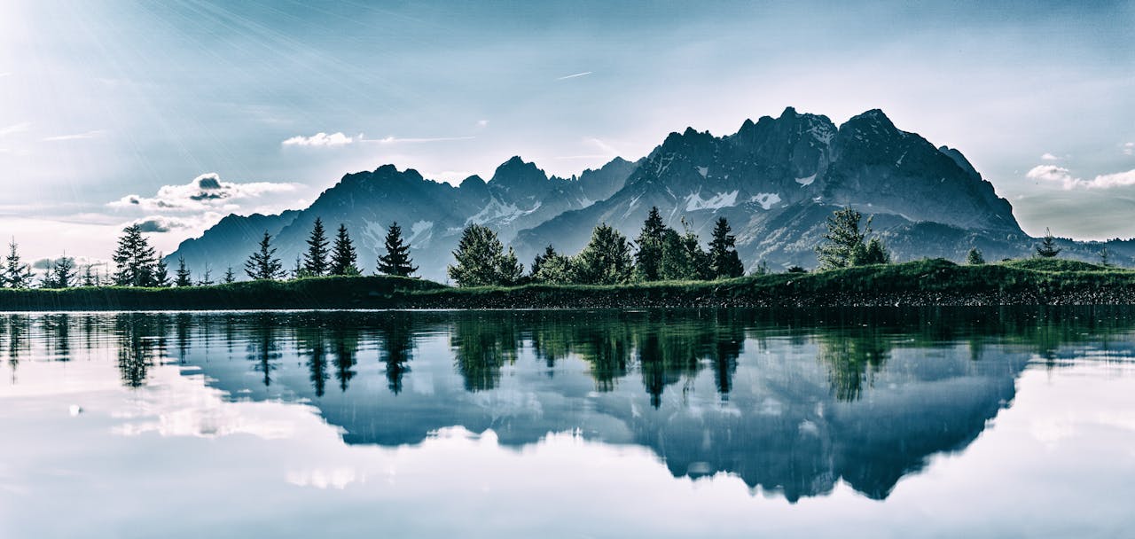
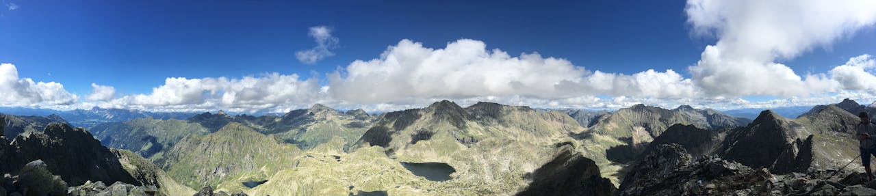
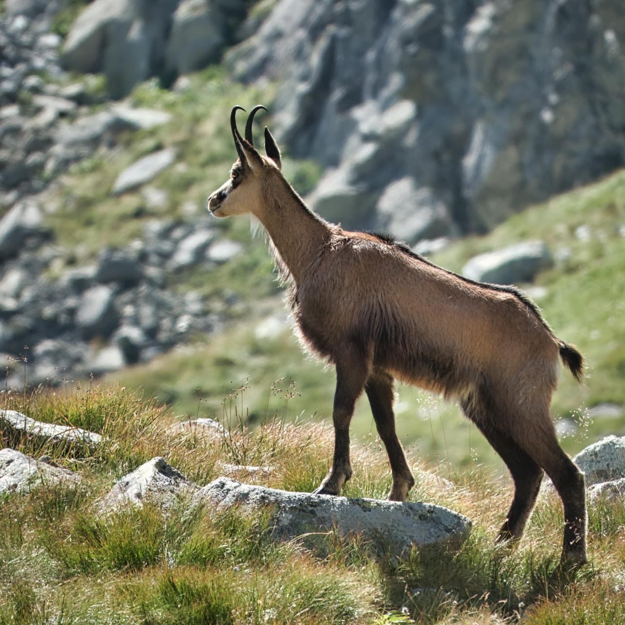
The High Tatras cover approximately 340 km² and are the highest mountain range in the Carpathians. Their specificity lies in their alpine character, which is the result of glacial activity during ice ages. The range is home to rich flora and fauna including chamois, marmots and rare plants.
Protected Nature
Since 1949, most of the area has been protected as Tatra National Park (TANAP), Slovakia's oldest national park. The park protects unique alpine nature, glacial valleys, crystal-clear tarns and rare species of plants and animals. It's important to follow park rules when visiting.
Paradise for Hikers
More than 600 kilometers of marked hiking trails offer opportunities for hikers of all levels - from easy valley walks to challenging summit ascents. The Tatra Trail (Tatranská magistrála) is one of the most beautiful long-distance trails in Europe.
Year-Round Destination
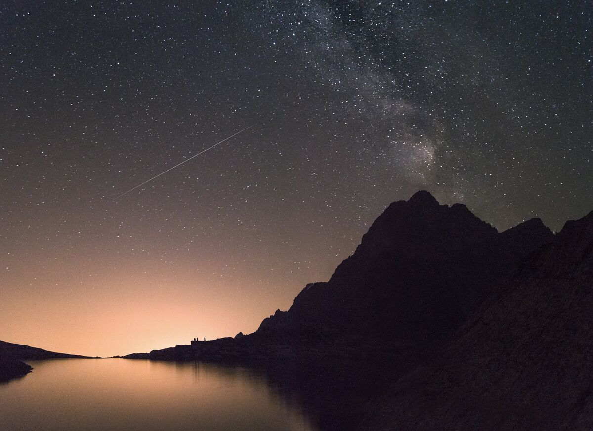
The Tatras offer experiences in every season. Summer attracts hikers and climbers, winter draws skiers and ski mountaineers. Spring and autumn offer a quieter atmosphere with beautiful changes of colours in nature. Some trails are closed during winter.
Major Peaks
See the iconic summits of the High Tatras
Gerlachovský štít
The highest peak in Slovakia and the entire Carpathians. At 2,655 m above sea level, it's a symbol of Slovak alpine nature. Ascent only with a mountain guide.
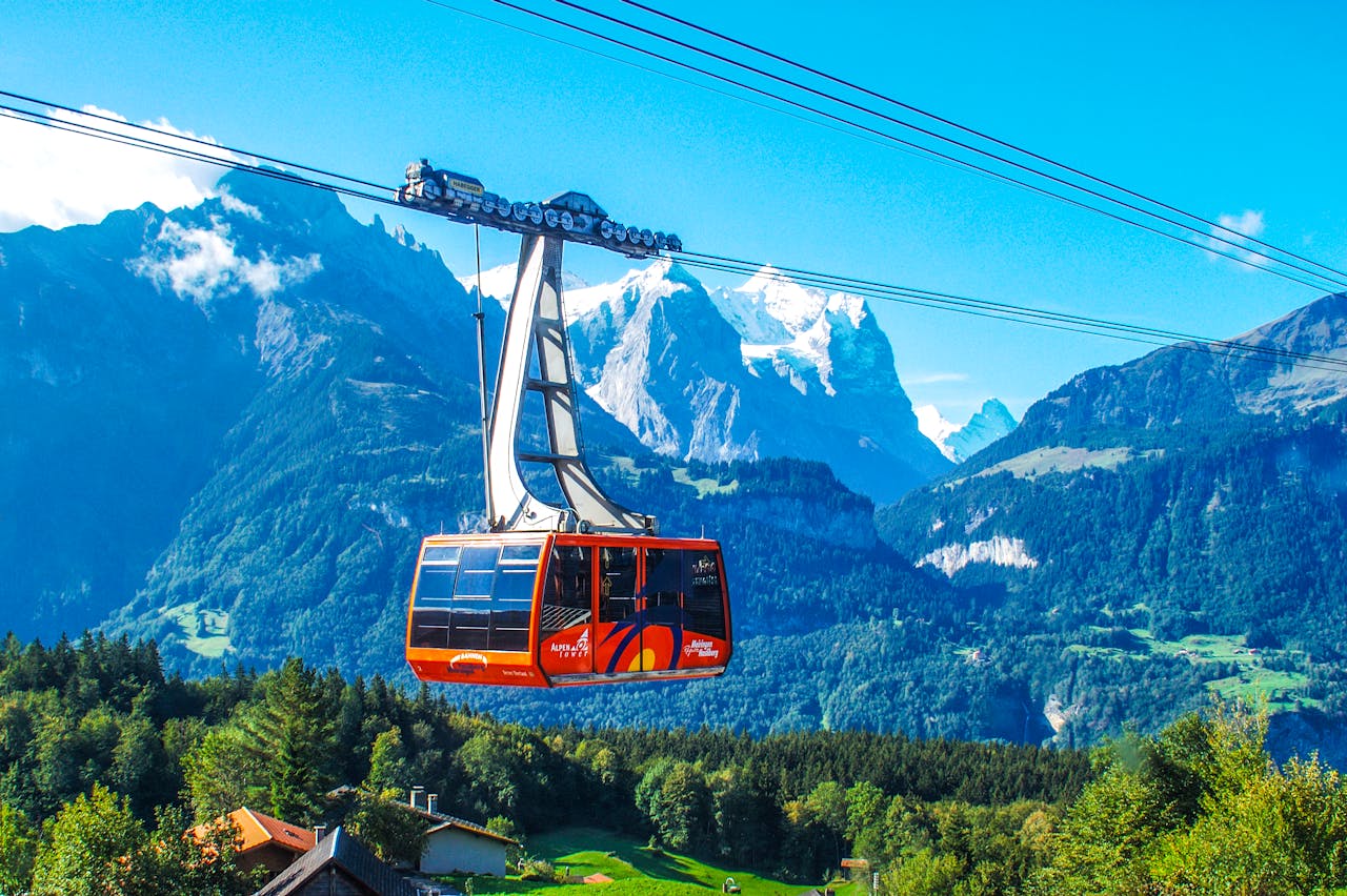
Lomnický štít
The second highest peak of the Tatras at 2,634 m. Thanks to the cable car from Tatranská Lomnica, it's one of the most accessible high-altitude peaks. Offers breathtaking views.
Kriváň
National symbol of Slovakia at 2,495 m. Its characteristic profile appears on Slovak euro coins. Popular and challenging ascent with beautiful views of the entire Tatras.
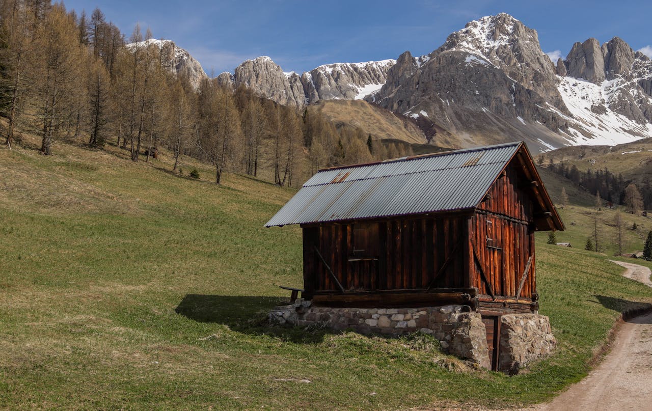
Mountain Chalets
Accommodation and refreshments in the heart of the Tatras

Téryho chata
The highest year-round open chalet in the High Tatras (2,015 m). Located in the Small Cold Valley near the Five Spiš Tarns.
Zbojnícka chata
Mountain chalet in the Great Cold Valley (1,960 m), surrounded by the largest number of Tatra tarns - up to 26 mountain lakes.
Zamkovského chata
The lowest alpine chalet (1,475 m) in the Small Cold Valley. Ideal first destination for families with children, just an hour's walk from Hrebienok.
Hiking Trails
From easy walks to challenging ascents
Tatra Trail (Tatranská magistrála)
The most famous long-distance hiking trail traverses the entire Tatras. The High Tatras section spans 46 km with 4,800 m of elevation gain. It passes through all southern valleys and offers stunning views of the mountain range's most beautiful areas.
Important Information