Peaks of the High Tatras
From the highest Gerlach to the iconic Krivan
Tatra Summits
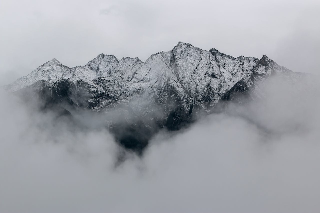
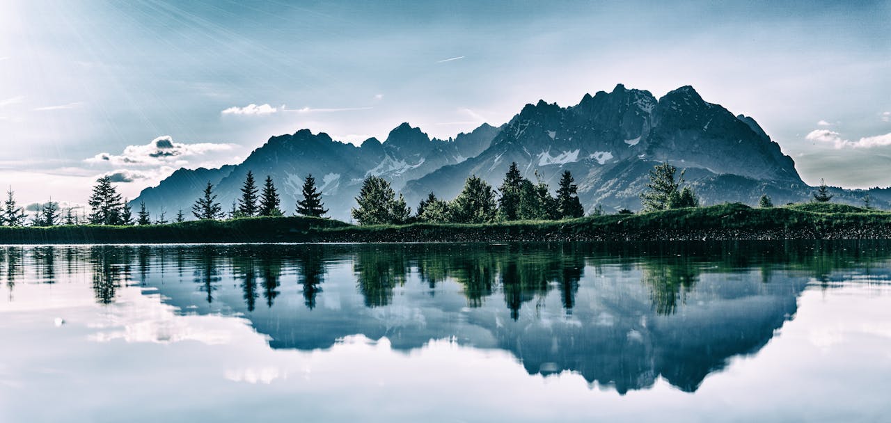
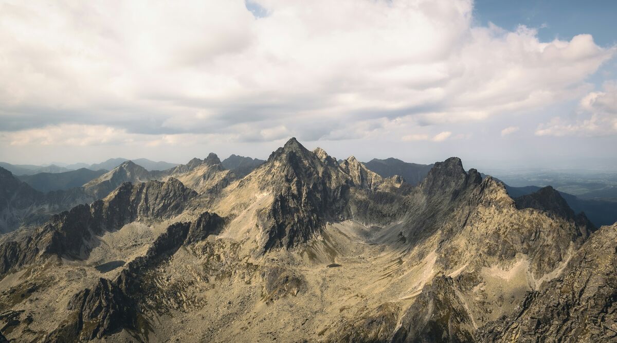
The High Tatras offer dozens of breathtaking peaks, many of which exceed 2500 meters
Highest Peaks
Gerlachovský Peak (Gerlach)
The highest peak in Slovakia and the entire Carpathians. Gerlachovský Peak (2,654.4 m a.s.l.) is the absolute ruler of the Tatras. Until 1838, when forester Ľudovít Greiner conducted barometric measurements, Kriváň, Lomnický or Ľadový Peak were considered the highest.
Name history: The original Slovak name was Kotlový Peak. Today's name comes from the Gerlach family, significant landowners in the area. In the 19th century the name became established and is now known worldwide.
Ascent: Gerlach is accessible exclusively with a mountain guide via ferrata sections from Batizovský Lake. The ascent requires mountaineering experience, good fitness and suitable weather. The most common route leads through Batizovská Valley.
Views: From the summit opens a 360° panorama over all the Tatras, Sub-Tatra valleys and in clear weather even distant mountain ranges. The feeling at the summit is unforgettable - you're standing on the roof of Slovakia and the Carpathians!
Lomnický Peak
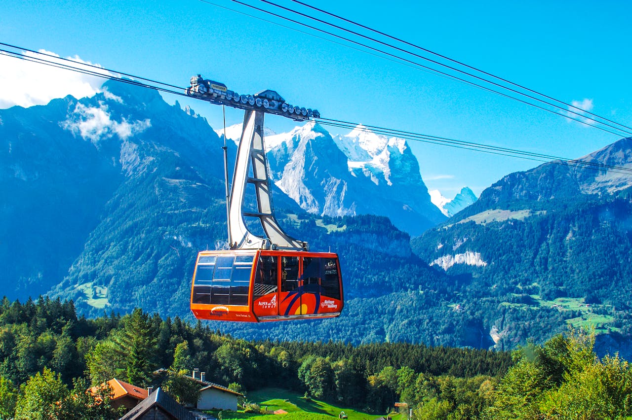
The second highest peak and most accessible high-mountain summit. Lomnický Peak (2,633.8 m) is unique in that it can be reached comfortably by cable car from Tatranská Lomnica. Its summit has the shape of a three-sided pyramid and offers some of the best views in the Tatras.
Cable car: The cable car to Lomnický Peak is among the most significant technical works in the Tatras. The first section leads from Tatranská Lomnica to Štart (1,173 m), the second to Skalnaté Lake (1,751 m) and the last section directly to the summit. The total height overcome by the cable car is almost 1,700 m!
Observatory: At the summit there is a meteorological observatory, which has been operating since 1940. In the past, meteorologists worked here year-round, today it is automated. The observatory provides valuable data on weather in high altitudes.
What you'll see: The panoramic view reaches from the Belianske Tatras through the main ridge to the Western Tatras. To the north you see into Poland, to the south spread the Sub-Tatra valleys. In clear weather visibility is up to 200 km!
Practical information: Tickets must be reserved in advance. Stay at the summit is time-limited (usually 30-50 minutes). Even in summer it can be cold and windy at the summit, bring warm clothing!
Kriváň
National symbol of Slovakia. Kriváň (2,495 m) has a special place in the hearts of Slovaks. Its characteristic profile is depicted on Slovak euro coins and for centuries it has been a symbol of Slovakia and Slavic solidarity.
History and symbolism: In the 19th century, the ascent to Kriváň became a kind of national pilgrimage site. Slovak nationalists and patriots went to Kriváň as a symbol of freedom and national pride. The tradition continues today - every year on August 1st the March to Kriváň takes place.
Ascent: The classic route starts at Tri studničky (1,150 m). The first part leads through a forest trail to Krivánska Malá Kopa. Then you climb the alpine zone via Štôlsky Ridge to the summit. The elevation gain is almost 1,400 m, making the ascent a challenging full-day trip.
Technical information: The ascent doesn't require mountaineering skills, but good fitness and mountain orientation. The last sections are rocky and exposed. The trail is red-marked. Ascent time: 4-5 hours, descent: 3-4 hours.
Best period: June to October, ideally July and August. In winter the ascent is possible only for experienced climbers with mountaineering equipment. Watch the weather forecast - at the summit there can be strong winds and storms are frequent.
Other Notable Peaks
Ľadový Peak
Third highest peak of the High Tatras. Its northern walls are among the most imposing in all the Tatras. Accessible only for experienced climbers.
Rysy
Highest peak accessible by marked trail without a mountain guide. Located on the Slovak-Polish border. The ascent from Poland is technically easier, from Slovakia more challenging.
Gánovce Peak
Imposing peak above Mengusovská Valley. Ascent is possible by marked trail via Priečne Saddle. Requires good fitness and confidence in exposed terrain.
Končistá
Peak in the main Tatra ridge between Baranie Rohy and Ľadový Peak. Accessible only for experienced climbers with a guide. Offers fantastic views.
Slavkovský Peak
Dominant of the eastern part of the Tatras. Ascent starts from Slavkovské Saddle and leads through challenging rocky terrain. Great views of surrounding peaks and valleys.
Vysoká
One of the most significant peaks of the main ridge. Access requires ferrata skills and a mountain guide. Beautiful views of the Slavkovské Peaks.
Comparison of Highest Peaks
| Peak | Height | Accessibility | Difficulty | Ascent Time |
|---|---|---|---|---|
| Gerlachovský Peak | 2,655 m | Only with mountain guide | Very Difficult | Full day |
| Lomnický Peak | 2,634 m | Cable car | No hike | - |
| Ľadový Peak | 2,627 m | Only with mountain guide | Very Difficult | Full day |
| Vysoká | 2,560 m | Only with mountain guide | Very Difficult | Full day |
| Končistá | 2,535 m | Only with mountain guide | Very Difficult | Full day |
| Rysy | 2,503 m | Marked trail | Difficult | 7-9 hours |
| Kriváň | 2,495 m | Marked trail | Difficult | 7-9 hours |